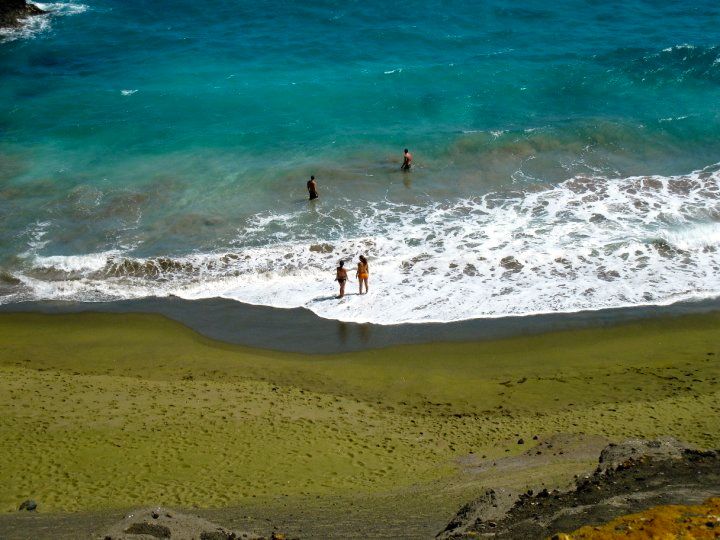

From its windswept rolling hills to rocky cliffs, from the days of the first Polynesian visitors to today’s thrill seekers, Ka Lae, or South Point, has been through massive changes. Today, Ka Lae is a popular destination for adventure seekers and those who want to boast that they’ve been to the southernmost point in the US. I hope you enjoy the slideshow for this little tour of Ka Lae, past to present. The images included here are mostly in the public domain, but attributions are provided where appropriate.
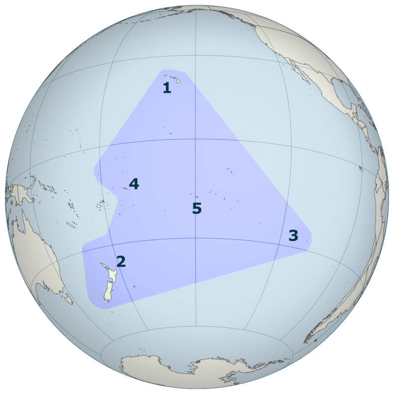
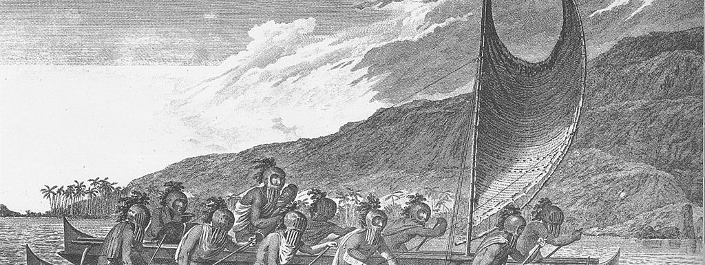
Hawaiʻi is at the northernmost point of the Polynesian Triangle, which includes Easter Island (2) on the lower eastern corner and New Zealand (3) at the lower western corner. Depending upon which expert you listen to, settlement began as early as the 3rd century.
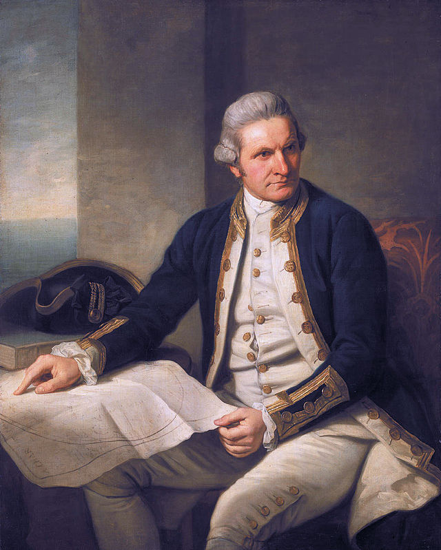
In 1779, Captain James Cook and the crew of the Resolution “discovered” Hawaii. Cook actually visited Kauai first, then worked his way South. According to the Historical Background of South Point from the Bishop Museum, Cook’s journal of January 5, 1779 included the following.
This part of the coast is sheltered from the reigning winds but we could find no bottom to Anchor upon, a line of 160 fathoms did not reach it at the distance of half a mile from the shore. Towards the evening all the islanders leaving us, we ran a few miles down the coast and there spent the night standing off and on (Cook/Beaglehole, 1967:487)
Cook’s visit set the stage for a massive depopulation of the islands beginning around 1800. Opinions as to the why the islands were hit so hard by pestilence vary, but by the mid 1800s, the population had been reduced to less than half of what it was when the Resolution made that fateful discovery.
Hint: you can manually advance through the slides by placing your mouse over the slideshow and clicking the pause button.